

What are the best trails in the Wichita Mountains? Now YOU can help decide! Simply click on the gold stars below to cast your vote.
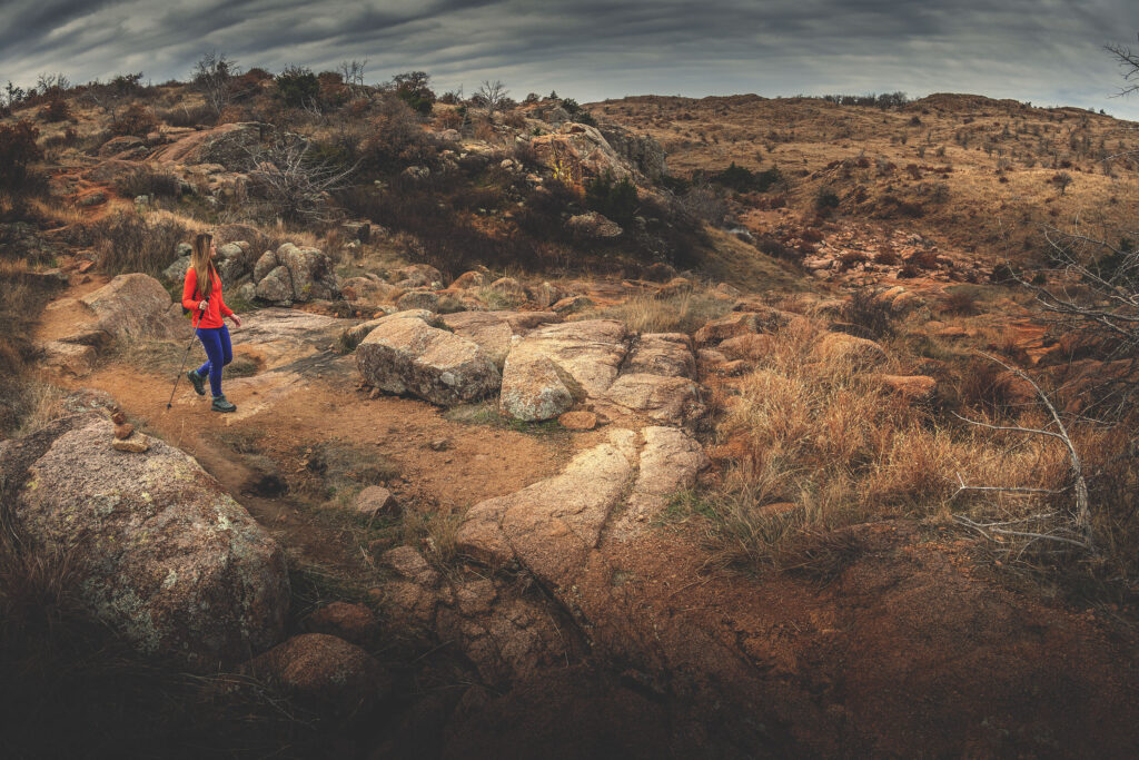
Charon’s Garden
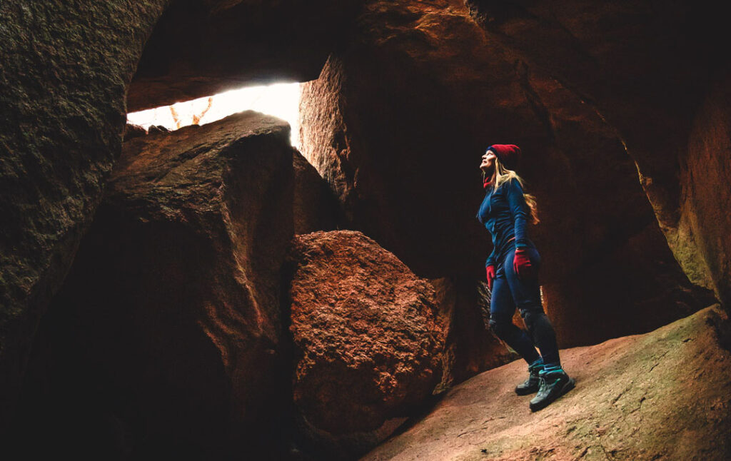
In Greek mythology, the newly-deceased were ferried across the river Styx by underworld dweller Charon (pronounced Karen). Passage was paid for by coins stuck in the mouths of the dead.
Whoever named this region found it so challenging and rugged they believed it to be a suitable substitute for Hades itself.
In hiking terms, that means it’s fun as hell.
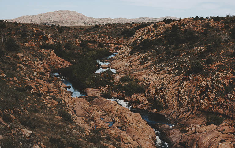
The Narrows
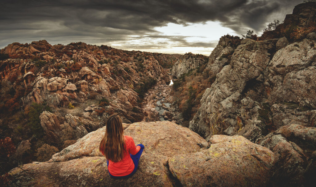
The Narrows is the true show-stopper of the Wichita Mountains Wildlife Refuge in Oklahoma, and you’d be remiss if you didn’t include this incredible feature in your to-do list during your visit to Southwest Oklahoma.
Crab Eyes
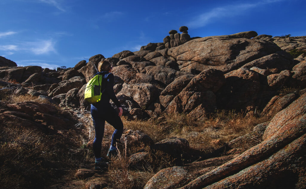
Crab Eyes ties in with the Charon’s Garden Trail system and is a fairly easy hike until its final rocky ascent.
Although a series of “ramps” on the northeast side can be scaled to mount the absolute summit of Crab Eyes, this effort is not for the timid. We hiked about halfway up these ramps, but when we saw the final perilous scramble we knew it was our cue to turn back.
Perhaps some day we’ll return with climbing gear.
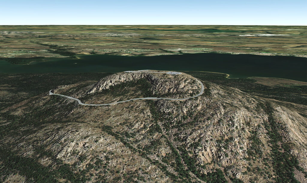
Elk Mountain
Bison Trail (with Elk Trail and Longhorn Trail)
Bison Trail is one of the longest hikes in the refuge. If your ultimate goal is Forty Foot Hole, you might consider the shorter Kite Trail instead. But, if you’re just wanting to take a nice leisurely six-mile stroll in total isolation through the Oklahoma wilderness, this is your trail.
Kite Trail

Kite Trail is your express ticket to Forty Foot Hole.
Although Bison Trail will also deliver you to this popular feature, the southern trailhead of Kite Trail will take you there in a fraction of the time and distance. For a truly spectacular day of hiking, we recommend combining Kite Trail with The Narrows.
Little Baldy Trail
Locate On Map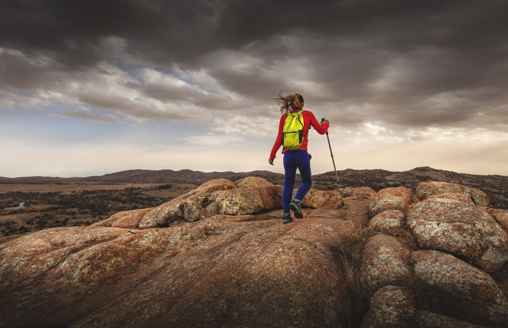
Little Baldy Trail is another great trail for kids as well as adults. If you want to say you climbed a mountain but don’t want to put in much effort, Little Baldy is the perfect summit for you.
Just be careful not to find yourself reaching the top in the middle of a sudden wind storm like we did. Sixty mile-per-hour winds can make a mountain feel like it’s moving underneath you.
Fawn Creek Trail
Quanah Parker Trail
Lake Elmer Thomas Recreational Area (LETRA)
Osage Lake Trail
Burford Lake Trail
Jed Johnson Tower Trail
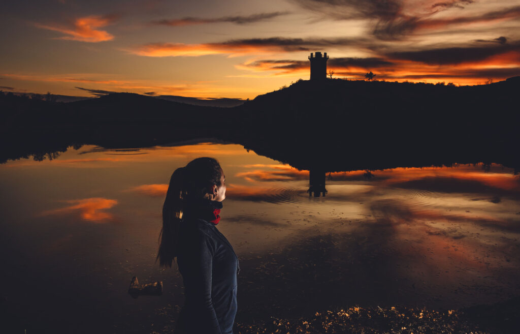
The Jed Johnson Tower trail may be one of the shortest hikes in the refuge, but if you stick around for sunset, the Oklahoma sky puts on a spectacular show. Silhouetted against a sky of fire, the tower assumes a turret-like appearance of some ancient mysterious castle.
Burma Road (South Border Trail)
Parallel Forest (Cedar Planting Trail)
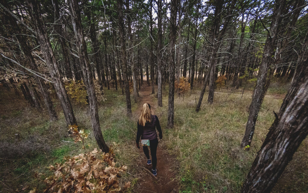
I’m going to level with you and give it to you, uh, straight (liking these puns?): The Parallel Forest’s Cedar Planting Trail isn’t one of my favorite trails in the Wichitas. On the other hand, it’s a very easy trail for kids, and the trees (which are also perpendicular, by the way) do lend themselves to some interesting photo backgrounds.
We were drawn there by the name, but we did not linger long. If you’re short on time, there are far better trails to be conquered out here.
Mount Scott Nature Trail (Picnic Trail)
Mount Scott Service Road
Mount Scott Fire Road
Canyon Floor Walk
Another trail that isn’t a trail, the Canyon Floor Walk (so named by Edward Charles Ellenbrook in his book Outdoor and Trail Guide to the Wichita Mountains) follows an unnamed …
Spanish Cave Hike
It’s a downright shame what has happened to Spanish Cave in recent years with the abundance of graffiti that now covers it.
At first, I was hesitant to even list it here, and there are probably two camps of thought on that.
One, don’t list it in hopes that no one will find it (which obviously hasn’t gone so well up to this point).
Two, give detailed instructions on how to get there to those who actually want to just hike and leave no trace (I’m talking about you, dear Hiking Illustrated reader). I figure that the more good stewards we have hiking this area, the better chance what’s left of Spanish Cave will be better off.
This is one of those “trails” in the refuge that isn’t so much a trail than it is a gorge. Be prepared for some bush-bustin’ and boulder hopping, and don’t be surprised if you can’t find it right away.
It’s there!
Bat Cave Hike
Ison’s Trail
PLEASE HELP US OUT!
If you enjoyed this free article on hikingillustrated.com, please consider
purchasing anything on Amazon via our affiliate link at no extra cost to you.